FishguardArts Society’s Summer Exhibition/Competition
15 Friday May 2015
Posted in Artist in Wales

15 Friday May 2015
Posted in Artist in Wales


14 Wednesday May 2014
01 Thursday May 2014
01 Thursday May 2014
07 Monday Apr 2014
05 Tuesday Nov 2013
Posted in Artist in Wales
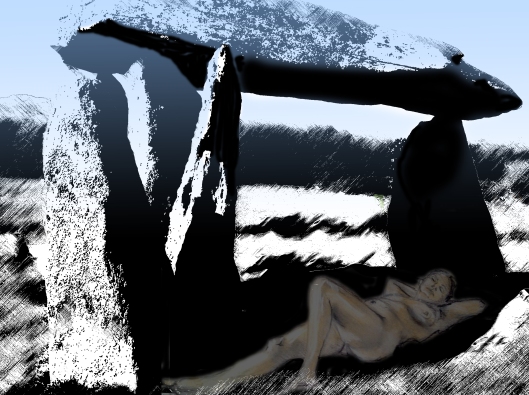
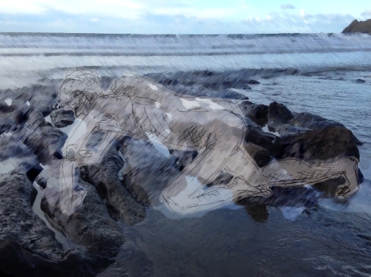
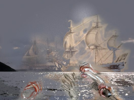
| This clip was made in 2010 and the beginning, for me, of overlaying different art forms using film.This way of working allows me to challenge the the way in which the inner eye deals with objective vision and I continue to use this way of working and experimenting with film, using drawing, painting and ceramic and occasionally using photographs as below. | ||
My Life drawings were superimposed onto photographs taken on my nearest beach, Aberbach in North Pembrokeshire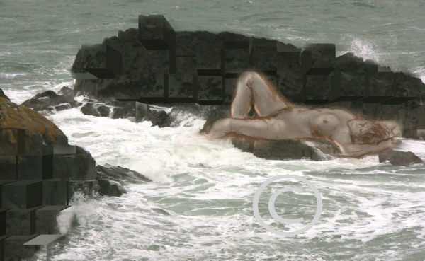  |
22 Tuesday Oct 2013
Posted in Artist in Wales
Much time has been taken up by planning a scheme of work without getting sidetracked and allotting timescales. Yesterday downloaded Mountain Lion to find that my Adobe photoshop program no longer runs and scrolling on websites has become difficult so far to much time has been spent trying to sort out these issues. Apple these days is not the same as it was under Steve Jobs!
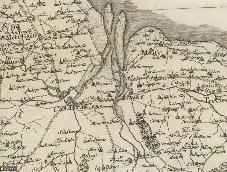
Whilst the very slow downloads were going on I have been researching mapping around the time of the Last invasion of Britain in Fishguard. Interestingly the French were much more advanced, the British producing some maps for military use, Ordnance Survey gives the clue. It is worth looking at the Cassini Family, four generations, who produced ‘The Carte de France’ which was published from 1750 to 1815. It consists of 182 sheets at the same scale, allowing the sheets to be joined together to form a physical map of about 39 feet high by 38 feet wide. These are beautiful, detailed and well drawn maps and shown in innovative ways on the David Rumsey website which allows public access to rare maps
s